


The South Valley Water Reclamation Facility (SVWRF) recently recognized the need to improve the way they gain access to plans and drawing information about infrastructure and utility systems at the facility campus. The Facility has to operate over 15 independent utility systems on an area of land approximately 80 acres. These systems include utility water, potable water, sewer, and irrigation utilities, effluent, waste, electrical, and communications among others. Most of the information at the facility is contained in a series of disconnected CAD drawings and paper records.
CHALLENGES
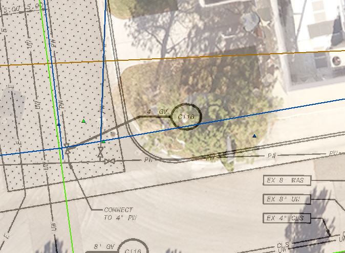
SVWRF is trying to manage a series of utility information that is often only on paper or in various CAD file formats. This does not allow information to be widely available to the operations personnel or even easily accessible by the engineers and others who need to see it. There is also discrepancy about what drawings are the most current and which set of information is correct. Some plans, for example, show utilities in locations where there is now a new building. The staff know the utilities have changed but are not sure which drawing is current and where to look for updated information. A map of the site with all of the data in a seamless database is needed to provide continuity to the information required.
SOLUTIONS
The Facility is working with Gateway Mapping, Inc. (GMI) to establish an SQL database using Esri’s ArcSDE and ArcGIS for server technologies and then create a system map that shows each utility. While still in the stages of building the database, the end user experience will be a browser-based map application delivered through Portal for ArcGIS and available on every computer in the network at the facility. Elements from individual CAD drawings, PDFs and paper plans are being identified by utility and populated in the appropriate database structure. GMI has also used mapping grade Global Positioning System (GPS) surveying to collect any utility features available on the surface. The resource or mapping grade GPS has provided sub-foot accuracy for these locations, which was sufficient for the Facility. The GPS data is combined with the drawings mentioned above to increase the positional accuracy of the map and its features.
Through the project, GMI and SVWRF have established regular review meetings which are held every two weeks. This provides an opportunity to discuss questions and issues with the project team and resolve mapping conflicts. These questions are provided to facility staff prior to the meeting so that the plant managers can review and provide answers. This process has worked well in a face-to-face setting and through web meeting technology on other projects as well.
BENEFITS
The SVWRF will now have an organized structure for the facility’s assets and infrastructure. Additionally, access to that information and each of the features on the map will be available to all of the staff and can be updated with a few clicks. Because of the power of GIS, the map becomes more than just a drawing.