


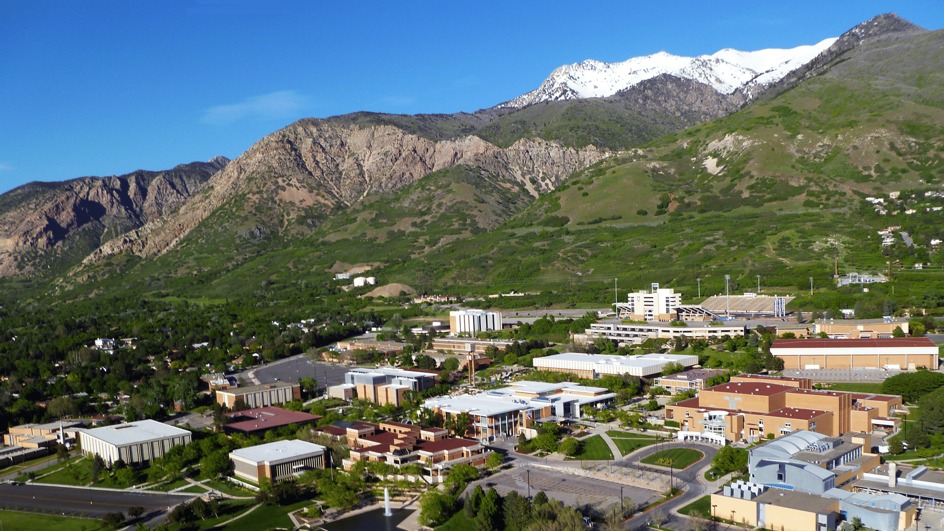
Weber State University, situated in Ogden, Utah, sits on the foothills of the Wasatch Mountains. The campus operates and maintains all of its own utility infrastructure and public services. These utilities include water, sewer, irrigation, storm drain, chilled water, telecom/data, and electrical systems along with underground tunnels to house many of these utilities. In 2013, the University’s Office of Campus Planning and Construction and Facilities Management Department undertook a project to convert many of its paper and CAD/BIM based maps to GIS in an effort to make the information more accessible to University departments and other affected entities.
CHALLENGES
Weber State University moved to its current location in 1954, and since that time, as different buildings and utilities have been built and expanded, hand drawings and later CAD/BIM drawings have been kept with varying levels of accuracy and accessibility. As the campus continues to expand and update, Facilities Management sought a uniform system for tracking infrastructure locations and information, updating locations with survey grade GPS as it is located, and making updated GIS information available to managers and workers in the field.
SOLUTIONS
The Facilities Management department contracted with Gateway Mapping, Inc. (GMI) to create system maps of each utility by converting CAD drawings and other available information to GIS. GMI assisted Facilities Management in developing a data schema that fit the needs of the organization. After converting as much data from CAD to GIS as possible, GMI then met with each of the utility supervisors to modify and correct the GIS data in live editing sessions. Additionally, survey-grade GPS data was collected using the University’s GPS to field verify locations and tighten the accuracy of the data. GMI was additionally contracted on an on-call basis to provide survey-grade GPS locations as new facilities are constructed and other utilities are located on the University’s network of campuses. Finally, GMI has assisted Facilities Management to publish their GIS data to ArcGIS Online, thus providing access to construction and department managers and field workers to assist in locating utilities across campus.
BENEFITS
System maps are now readily available for use on desktop and mobile devices. These maps allow staff to quickly and effectively locate features in the field. GIS will serve as the platform that will facilitate maintaining system maps and assets, now and in the future. A much more informative and useful system is in place to assist Facilities Management that will benefit them for years to come.